Tourist Attractions in Nashik
HomeBack
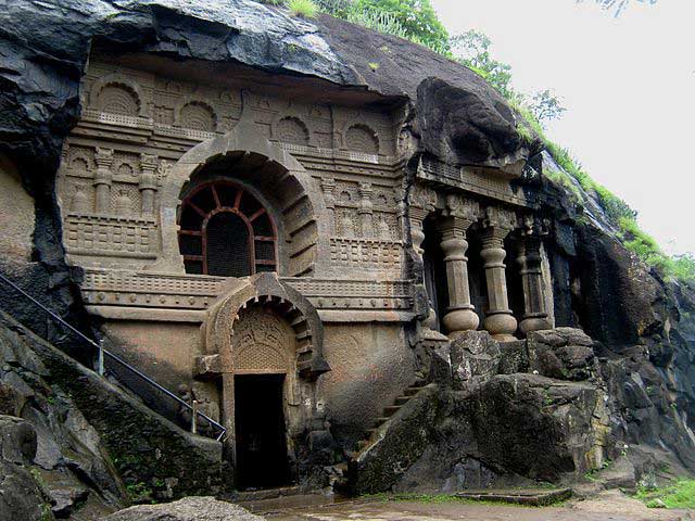
The Nasik Caves, or Trirashmi Leni, are a group of 23 caves carved between the 1st century BCE and the 3rd century CE, though additional sculptures were added up to about the 6th century, reflecting changes in Buddhist devotional practices.
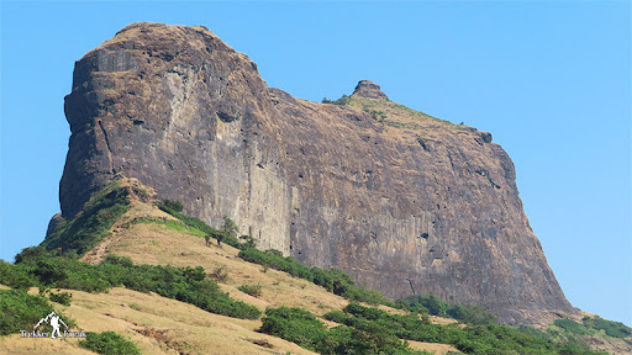
Harihar fort / Harshagad is a fort located 40 km from Nashik City, 48 km from Igatpuri, 40 km from Ghoti in Nashik district, of Maharashtra, India. It is an important fort in Nashik district, and was constructed to look upon the trade route through Gonda Ghat.
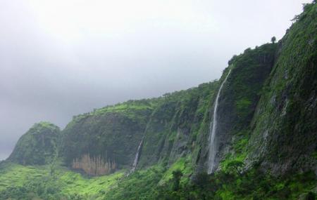
Anjaneri, one of the forts in the mountain range of Nasik-Trimbakeshwar. Anjaneri is located 20 km away from Nasik by Trimbak Road. It has become a famous trekking spot for local Nashikites, especially in the rainy season.
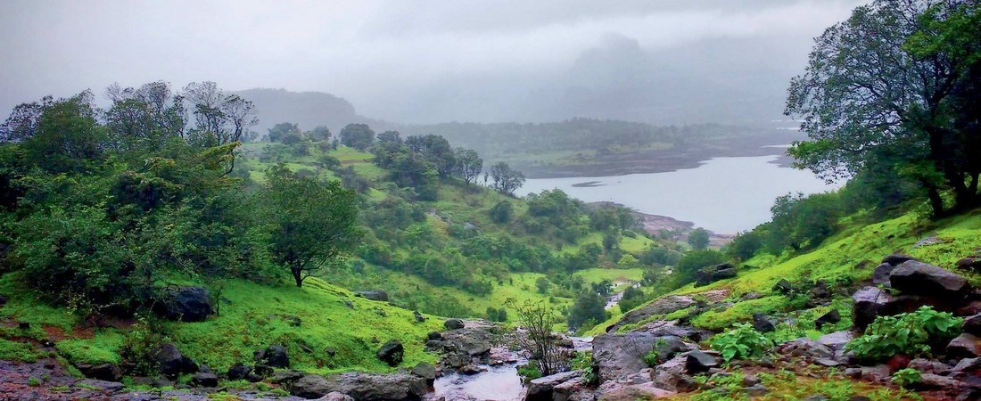
Igatpuri is a town and hill station in the Western Ghat mountains of Maharashtra, western India. The huge Dhamma Giri academy is dedicated to the teaching of Vipassana meditation.